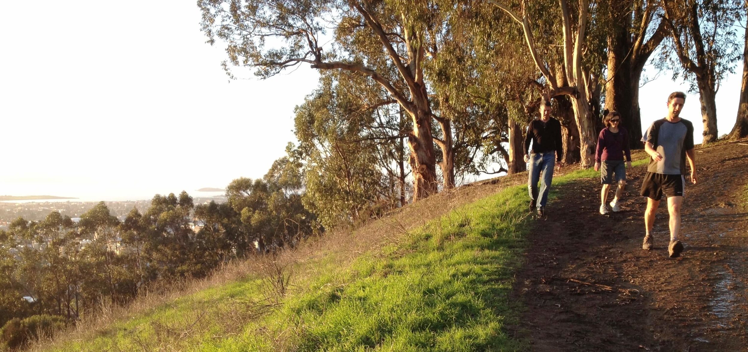
Panoramic Ridge Trail: The most popular trail in Claremont Canyon is the Stonewall-Panoramic Ridge Trail, sometimes called the East/West Trail at its upper end. The trail begins at the Stonewall Road entrance to Claremont Canyon Regional Preserve and climbs steeply for about a half-mile, enabling hikers to enjoy spectacular vistas of almost the entire San Francisco Bay Region. The trail then levels out as it runs easterly for a half mile along the crest of Panoramic Ridge before beginning to climb steeply once again. At that point, an unmarked, narrow trail called the Side Hill Trail angles off to the right, traversing a relatively undisturbed south-facing slope that features a wonderful array of spring and early summer wildflowers as it climbs gently to reach Grizzly Peak Boulevard at about 1,600 feet elevation. The Side Hill Trail intersects Grizzly Peak Boulevard about .8 miles north of Four Corners intersection with Claremont Avenue/Fish Ranch Road.
Derby Creek Canyon Trail: The northern ridge (Panoramic Ridge) can also be reached via a small side canyon just to the north of Claremont Canyon's watershed, called Derby Canyon (formerly Dwight Canyon). Derby Creek Canyon has a rocky, exposed, one-person path accessible from the back side of the Clark Kerr Campus.
Gwin Canyon Trail: Equally interesting, but less traveled, is the trail that begins at the end of Norfolk Road (very limited parking) on the south side of Claremont Canyon and continues down through Gwin Canyon. At present this trail on Park District land dead-ends on the slope above Claremont Creek, though we hope to see it connect someday to a network of fire roads on UC land.
Summit House Trail and Willow Trail: UC's network currently includes the Summit House Trail and the Willow Trail—one more of a road and one a narrow, winding riparian path. The two run somewhat parallel to each other all the way up to Grizzly Peak Boulevard at Four Corners. Both trailheads veer off from Claremont Avenue about .5 miles above Gelston Road at UC’s Signpost 29 directly across the road from the dramatic, orange-hued, vertical layers of a geological formation known as Claremont Chert.
Connection to Upper Jordan Trail: Farther up Claremont Avenue at signpost 28, another UC-maintained fire road climbs up a steep slope to the top of Panoramic Ridge where it’s easy to cross over into Strawberry Canyon and connect with the Upper Jordan Trail.
Garber Park Loop Trail: Back down the canyon, a loop trail runs through John Garber Park in the western-most corner of Claremont Canyon (not far from the Claremont Hotel). Enter this rustic, heavily wooded, 14-acre city park from the end of Evergreen Lane (off Alvarado Road) or from the end of Rispin Drive (off Claremont Avenue). Both entry points are in residential areas and have very limited parking. You can also enter the park from Claremont Avenue or Alvarado Road, now that connector trails have been reconstructed by the Garber Park Stewards. There are a few off-street parking spots on Claremont and street parking on Alvarado. Look for the new signage.
A Work in Progress: The network of trails in Claremont Canyon is a work in progress—and we invite your ideas. The Conservancy’s long range plan calls for development of a walking trail right up the bottom of the canyon parallel to Claremont Avenue and Claremont Creek.